- 2020
- 200
- 33.00 X 24.00
- 9789941304903
- მაგარი
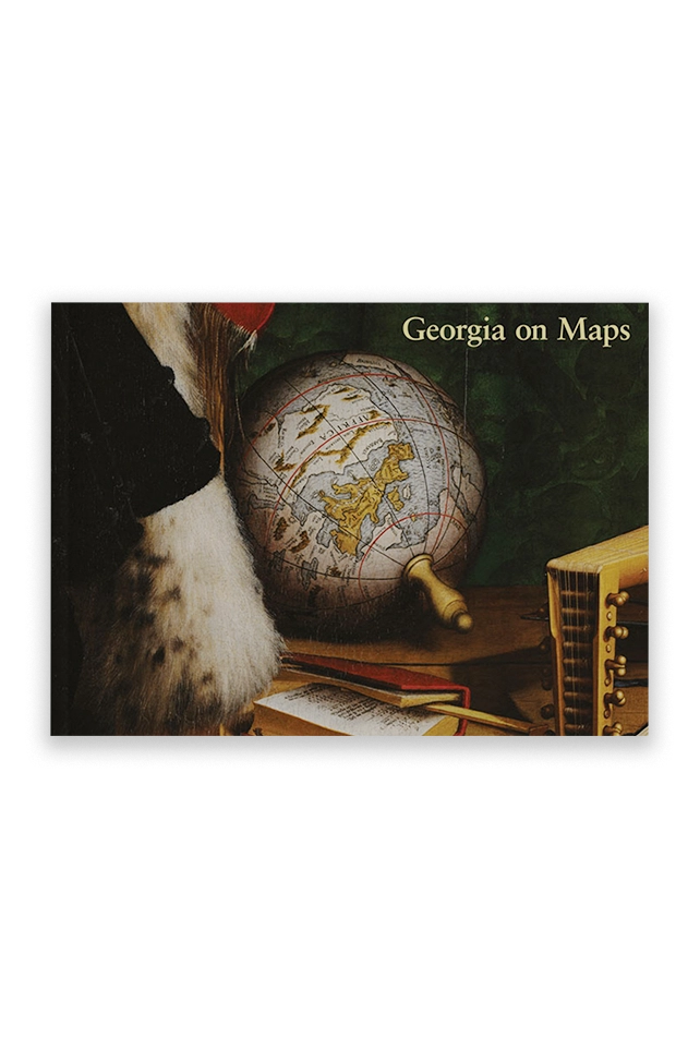
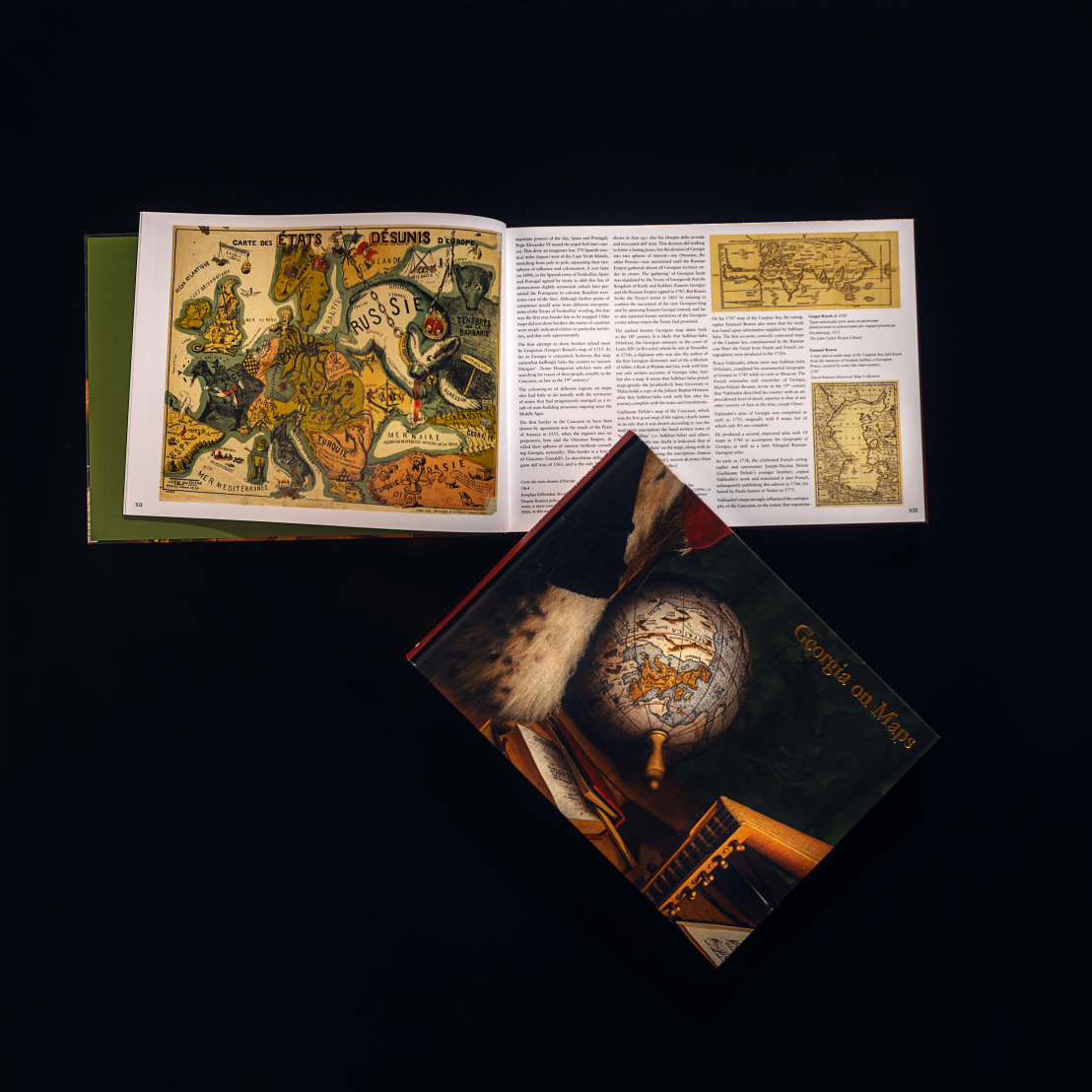
Georgia on Maps
ლაშა ბაქრაძის ინგლისურენოვანი წიგნი „Georgia on Maps“ პირველი მცდელობაა იმისა, რომ აჩვენოს, თუ როგორ გამოსახავდნენ საქართველოს რუკებზე კარტოგრაფიის განვითრების პარალელურად. საქართველოს რუკებზე ასახვა სხვადასხვა ისტორიულ პერიოდსა და სხვადასხვა კარტოგრაფიულ კულტურაში არასაკმარისადაა შესწავლილი. ამ წიგნში კი მრავლად შეხვდებით სწორედ უძველეს რუკებს, რომლებზეც საქართველოა დატანილი. ვიმედოვნებთ, „Georgia on Maps“ უცხოელ მკითხველსა და სპეციალისტებს დააინტერესებს საქართველოსა და კავკასიის ისტორიით, საქართველოში კი ხელს შეუწყობს კარტოგრაფიის ისტორიის კვლევის გაღრმავებას, მეტად გასაგებს გახდის ძველებურ რუკებს და გააღვიძებს ინტერესს მათ მიმართ.
This book was intended for a large audience – both for those who love cartography, and for those who are particularly interested in depictions of Georgia and the Caucasus on old or antique maps. This is the first real attempt to uncover how Georgia was represented throughout the development of cartography, a question that has hitherto been largely ignored and little researched. As in many regions of the world that are unfortunately home to various conflicts, interest in old maps is often limited to the borders they depict and to their usefulness in terms of controversial political goals. We hope this book will inspire further research, and that it will please all those with an interest in the history of cartography.
55,90 ₾
მარაგში


